By introducing models into 3D production engines, architects and urban planners can better respond to the changing landscape, climate, transportation and other challenges in cities through visualization projects.
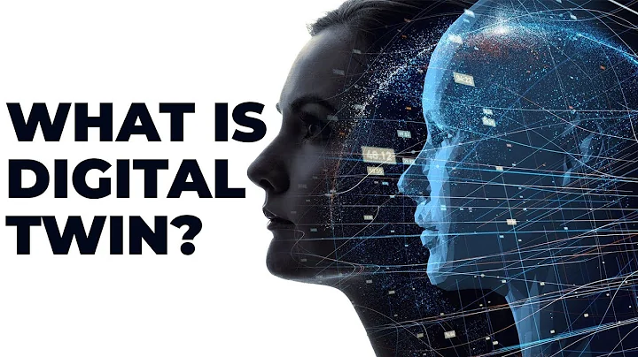
The definition of digital twin is a virtual replica of a physical asset, process or system, while a city digital twin is a virtual expression of the physical assets of the entire urban environment. City digital twins play a key role in promoting the global smart city wave.
" Smart Cities " is a community that documents urban environments by using electronic means such as Internet of Things (IoT) sensors to collect valuable data on utilities, resident travel patterns, and infrastructure usage and performance. Activity and change. City digital twins are usually built in a systematic way, where the data is finally visualized by aggregating a large number of maps and models for real-time visualization.
Because of this, urban digital twins can provide the ability to observe the future environmental state of the city more accurately than traditional building model sets. In addition, digital twins can also help designers further democratize and redraw the urban planning process. According to ABI Research, it is expected that by 2025, more than 500 cities around the world will deploy urban digital twin projects. Currently, many cities are actively working to digitally replicate their urban landscapes and explore the role digital twins can play in their communities.

Trondheim (Trondheim) is the fourth largest city in Norway, located on the shore of Trondheimfjord. Founded in 997 by Viking king Olav Tryggvason, the city has a strong Nordic historical feel. Like many cities around the world, Trondheim's geography forces the city to increase the density of existing buildings while preserving the city's history and culture to meet urban development needs. This is definitely a design challenge for planners.
In 2020, in the Trondheim 2050 competition, local architects set out to model the city's future. The competition is part of the City of Trondheim’s comprehensive strategic plan for its development over the coming decades and will increase public participation in the urban planning process by inviting architects with diverse design concepts.
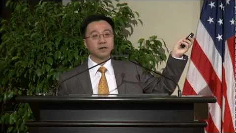
To simulate what Trondheim will look like in 2050, Martin Vitsø, a geodata expert at the city of Trondheim, used Unity.
Putting the Future in the Hands of Citizens
Vitsø was responsible for gathering the team’s SketchUp models, as well as critical geographic information system (GIS) data, into Unity Pro to create an accurate, interactive view of Trondheim’s potential future.
Coordinating this work between architecture teams using different technical solutions is not a simple task, and cities face the same challenges on a larger scale when creating cohesive models. "For this project we used SketchUp almost exclusively. The team received SketchUp models of the parts of the city they were going to design and were asked to put their own models into these SketchUp models."
A few years ago, Martin decided to experiment independently Unity, this is his first attempt to use Unity on such a large scale and in a public way.
“Unity can handle big data loads,” Vitsø said. "I really like being able to script the program to capture high resolutions and different angle projections (even 360 degrees) and take screenshots."
The end result is that we get a detailed digital view of the city, Tron Herm’s 3D view, as well as allowing viewers to see how each team’s proposed buildings and infrastructure will look in 2050.
Vitsø is an attempt to make the existing public map of Trondheim more interactive and easier to navigate. “The backgrounds in the public response maps are all high-resolution mono-isometric images from Unity. Virtual tours powered by virtual reality (VR) are also made from Unity’s 360-degree images.” As you can see in the image below, Vitsø aggregated citizen comments into a heat map, overlaid on a 3D version of the public map, allowing the team to easily identify areas of Trondheim where citizens are most interested or concerned.
Trondheim’s planning team identified residents’ top concerns and wishes and incorporated them into the city planning plan. Residents pointed out where they would like to see more greenery, public seating, and car-free pedestrian areas. , as well as easier access to the Nidelva River that cuts through the city.
The response from the city and the public to this project has been overwhelming. “City staff are excited to introduce 3D, VR and interactive responsive maps to the public engagement mix. ” says Vitsø.
“This way of doing things will hopefully allow a more diverse group of people to be involved in the planning process. City planners told me that many people involved in traditional ways of sharing information already understand the process well enough to provide feedback anyway.
Data Foundation for Smart Cities
For Trondheim, Project 2050 is just the beginning. “Before this project, we didn’t really use the term ‘digital twin’ – we always made it in the city when needed. 3D models of large or small areas. Therefore, we focused more on efficient ways to make new 3D models with new map data rather than saving and updating digital models. ”
Vitsø believes that more streamlined data and model sharing is the next wave towards digital twins and smart cities.
“From a government perspective, I want to be able to easily share the latest digital twin content with other cities and countries. Now, this might require a lot of manual work to make the model a certain way and then combine the model data with certain columns in some database to suit the needs of a particular project. It’s incredible how much effort there is right now across the country to do 3D modeling and store building information in databases.
Vitsø and his colleagues in Trondheim are still working hard to find new ways to use this data to drive the city of Trondheim into the future.
"The aim of creating a comprehensive digital twin is to expand the use of 3D city models, including in real-time Sensor data and information from data registry selections. For example, an analysis of urban energy use may require a 3D city model and a range of additional information related to each building. We have all this information, but it's spread across several databases, requiring complex combinations. With Unity, we can consolidate all data at "one point", which is very convenient. ”
Designers and urban planners around the world are immediately discovering the impact of digital twins in visualizing future plans for cities, informing data-driven decisions and engaging the public in remote collaboration.
“Powered by Unity Unique features, we view Unity as a platform for making the visualizations we want to show to the public. ” said Vitsø.