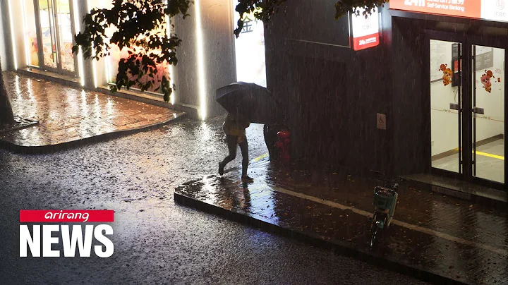
html On the streets of Beihai City on the afternoon of the 12th, people went out wearing raincoats. Photo by Zhai Liqiang
 China News Service Nanning July 2 (Wang Yizhao) According to the Guangxi Zhuang Autonomous Region Flood Control and Drought Relief Headquarters, in view of the fact that this year’s No. 3 typhoon "Siamba" strengthened to typhoon level on the morning of July 2, it was decided to From 12:00 on July 2, the autonomous region's typhoon defense level IV emergency response will be upgraded to level II emergency response. According to the Level II emergency response requirements of Guangxi's typhoon defense emergency plan , offshore operating vessels will be organized to return to the port for shelter and personnel to go ashore to avoid danger.
The Guangxi Meteorological Observatory updated the typhoon orange warning at 9:00 on July 2. It is expected that "Siamba" will move northwest at a speed of about 15 kilometers per hour. In the first half of the night on the 2nd, it entered Guangxi from Beihai
to Bobai as a severe tropical storm, and then continued to move northward.Affected by "Siam", there were continuous to heavy rains and local heavy rains in Guangxi from July 2 to July 7. From July 2 to 4, there were strong winds in southern Guangxi, coastal areas and Beibu Gulf sea surface. Among them, there were strong winds in Beibu Gulf sea surface. Rotating winds of magnitude 8 to 9 and gusts of magnitude 10 to 12. Coastal areas have strong winds of magnitude 6 to 7 and gusts of magnitude 8 to 9.
In view of the fact that "Siamba" has the characteristics of long duration and great impact of wind and rain, it will bring continuous heavy rain and strong winds to the sea surface of Guangxi and Beibu Gulf. According to the provisions of the "Guangxi Zhuang Autonomous Region Typhoon Defense Emergency Plan", through the Guangxi Zhuang Autonomous Region Flood Control The Drought Relief Headquarters approved the decision to upgrade the autonomous region's typhoon prevention level IV emergency response to level II emergency response from 12:00 on July 2, and sent a working group to relevant cities to guide flood control and disaster relief work.
According to the Level II emergency response requirements of the "Guangxi Zhuang Autonomous Region Typhoon Defense Emergency Plan", relevant departments will organize offshore operating vessels to return to the port for shelter and personnel to go ashore to avoid danger; organize the safe transfer of people in areas susceptible to storm surges to ensure The safety of people affected by typhoons in coastal tourism, offshore breeding, etc.; and measures such as organizing the evacuation of people in dangerous areas such as flash floods and geological disasters, low-lying flood-prone areas, and dilapidated houses to ensure the safety of people's lives and property. (End)